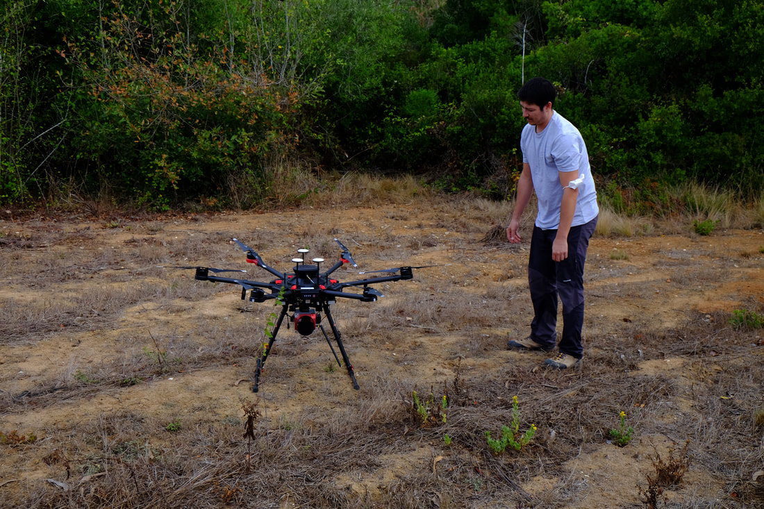
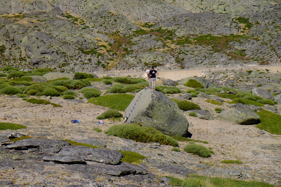
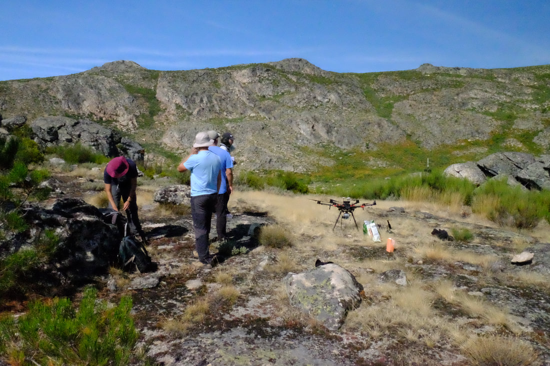
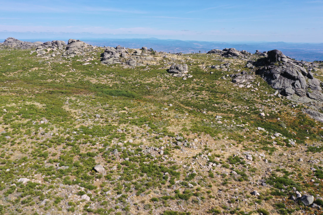
CEG Zephyrus P&M was in the Serra da Estrela in September together with a team from CERENA-IST and UBI for conducting UAV LiDAR surveys and terrestrial laser scanner in areas where vegetation density poses problems for ground elevation mapping using optical drones. We expect with this approach will be especially useful for mapping the Fonte Santa moraine close to Manteigas. Surveys were also conducted in the Covão do Teixo area.
In September the ZP&M team has been in the field with the CERENA-IST team to support the PhD research of André Texugo on the archaeology of 5K BP human settlements in the Estremadura region. The team has been surveying several archaeological sites were dense vegetation induces major limitations for terrain analysis. The use of a drone-based LiDAR will allow to mitigate the vegetation effects and improve the 3D mapping of the sites.
From 4 to 12 September the Zephryus Polar & Mountain Research Team was in the Serra da Estrela to continue the rock sampling aiming at a better understanding on the chronology of the Estrela glaciation. This time the focus was on the plateau areas. UAV surveying of geosites was also conducted using both optical and multispectral cameras. The field work counted with the support of the Estrela UNESCO Global Geopark team.
|